Innovation

Rapid advancements in technology and the evolution of new requirements in the fast-growing space applications market require continuous innovation and the adoption of new strategies. With Space 4.0, the space sector is entering a new era revolutionising the design, production and management of space products. New digital technologies for data analytics and smart integrated services are among the latest technical challenges.

GeoVille successfully manages to lead (and/or adapt to) innovation processes through substantial resources allocated to in-house competence building. Moreover, GeoVille conducts research and innovation in the frame of national and international scientific activities, constantly integrating new technologies, widening the field of innovative applications and enhancing connectivity with other sectors.

Please find below a selection of our latest innovations and ongoing R&D initiatives:

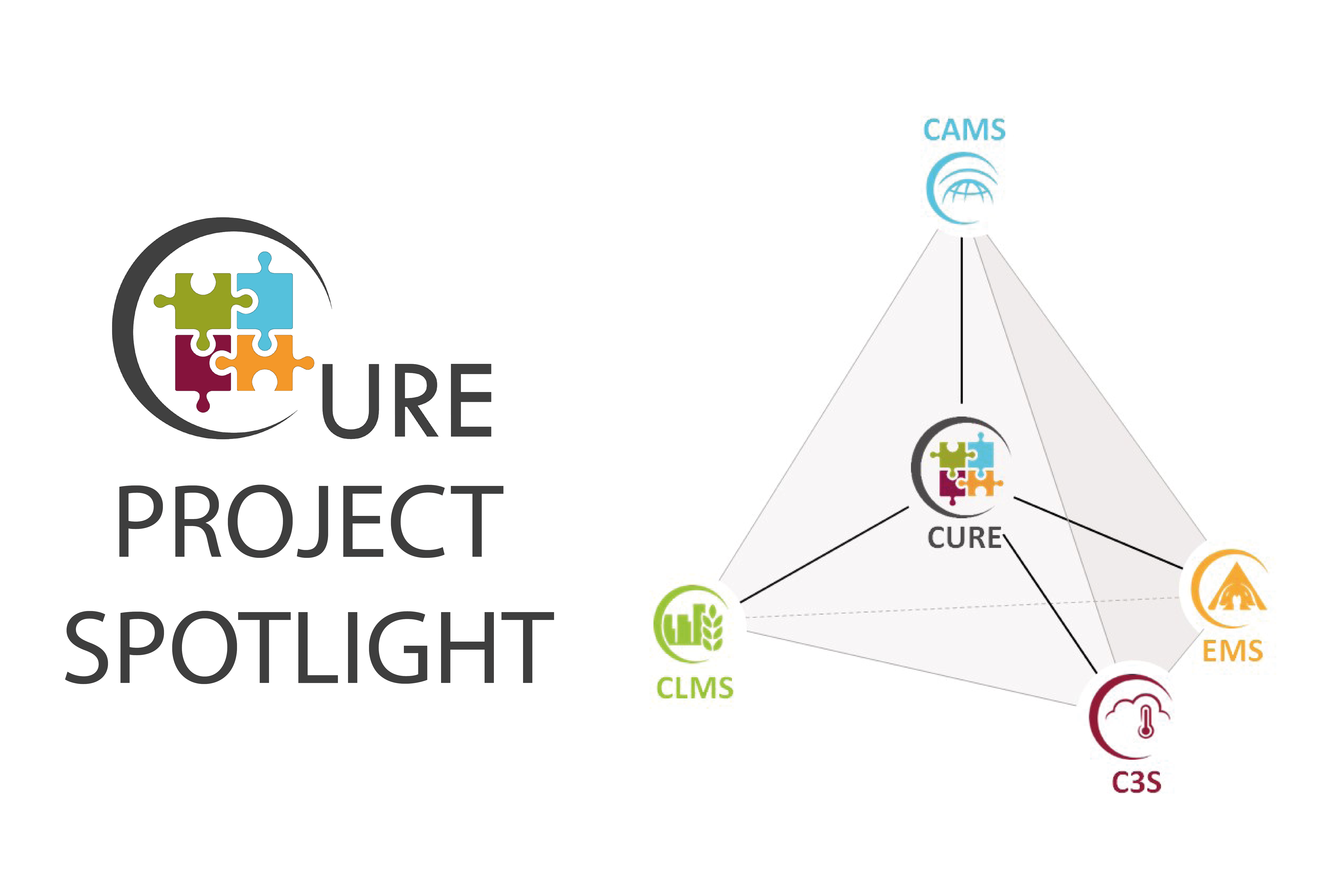
CURE

Urban resilience cloud operation system

CURE synergistically exploits spatially disaggregated environmental Earth Observation (EO) data  from the Copernicus Core Services concerning atmosphere, land, climate change and emergency.

GeoVille’s cloud agnostic operation system enables cities to innovatively access information solutions for urban resilience, consisting of 11 individual cross-cutting applications for climate change adaptation/mitigation, energy and economy, as well as healthy cities and social environments.
Cure-Copernicus.eu


smarticipate

Opening up the smart city

The smarticipate platform will make open data available to citizens in an understandable format. By doing so, it will transform open data from a little used resource to a vital tool to plan the future of a city.

Through the platform, users will be able to see proposed urban planning changes on a 2D or 3D map of their city. If the user has an idea to improve the proposal, they can make the change directly, observing their alterations in real time. Other users can also see the new proposal and comment on it.

If potential changes violate any legal or policy barriers, the intelligent system will inform the user and gives detailed reasons based on the data provided. In addition to making changes to urban design, citizens will be able to feed in data from their own locality, improving data sets.

smarticipate Portal

LandSense

Connecting citizens with satellite imagery to transform environmental decision making

The LandSense Citizen Observatory aims to aggregate innovative EO technologies, mobile devices, community-based environmental monitoring, data collection, interpretation and information delivery systems to empower communities to monitor and report on their environment. A key component of the project is the LandSense Engagement Platform. Various communities will be able to actively participate within the LandSense engagement platform through a variety of interactive tools and functions to facilitate information transfer, assessment, valuation, uptake and exploitation of environmental data and results. The platform will offer collaborative mapping functionalities to allow citizens to view, analyze and share data collected from different campaigns and create their own maps, individually and collaboratively. In addition, citizens can participate in ongoing LandSense demonstration cases using their own devices (e.g. mobile phones and tablets), through interactive reporting and gaming applications, as well as launching their own campaigns.

LandSense Citizen Observatory

EO VAS

Earth Observation Adding Value Services

EO VAS aims to reshape the Earth observation value chain by breaking “downstream” component and significantly simplifying development and delivery of Earth observation adding value services.

The main technological novelty lies in a cost effective approach that uses resources only when somebody is asking for results, thus making the services more affordable. Functional novelty is expressed through its connecting characteristics - connecting end-user communities with developers, who can build their services on top of initial toolset and commercialize them through the platform without the need for large investments in processing and storage infrastructure or data processing developments.

EO VAS Portal

VegetationDynamics4.0

Monitoring of vegetation dynamics

Information markets in the sectors of agriculture, forestry, water and environmental management require quantitative measurements of vegetation water content and biomass, all of which are not currently available as operational services on required scales. VegetationDynamics4.0 aims to investigate the capacity of both Sentinel-1 and Sentinel-2 data for the monitoring of vegetation water content, enabled through an unparalleled global validation effort and rigorous scientific schedule. Highly innovative methods will be employed aiming at 1) establishment of situ measurements within a global processing system framework and 2) development of empirical models relating multi-sensor VWC indices across heterogeneous sites world-wide. Finally, the relationship between S-1 CR data, S-2 vegetation indices and derived land cover, Vegetation Optical Depth (VOD) estimates from Advanced Scatterometer (ASCAT) and quantitative vegetation variables (height, water content, and biomass) will be analysed from field to regional scale.

QuinJunSat

Improved Situational Awareness during crisis events

QuinJunSAT aims to improve the capacity of crisis managers before, during and after disaster events through an innovative approach, in which satellite and crowdsourced information from volunteers are automatically integrated to obtain quick response and accurate assessment information of damages.

Key information on damaged infrastructure is extracted from very high-resolution satellite imagery in an automatic way, while the data provided by volunteers through a smartphone application will confirm or reject the detected damages, as well as provide additional data of potential relevance for crisis managers. By combining Earth observation (EO) data with information obtained from crowdsourcing, we aim at improving the existing situational awareness picture by drastically increasing the detection and identification accuracy of damaged infrastructure, which will lead to 1) smarter resource allocation and response actions, 2) shorter reaction times and, 3) lower total costs for relief actions.

QuinJunSAT website

Get in touch

GeoVille Information Systems
and Data Processing GmbH

Sparkassenplatz 2
6020 Innsbruck
Austria

Tel: +43 512 562021-0
Fax: +43 512 562021-22
Email: info(at)geoville.com