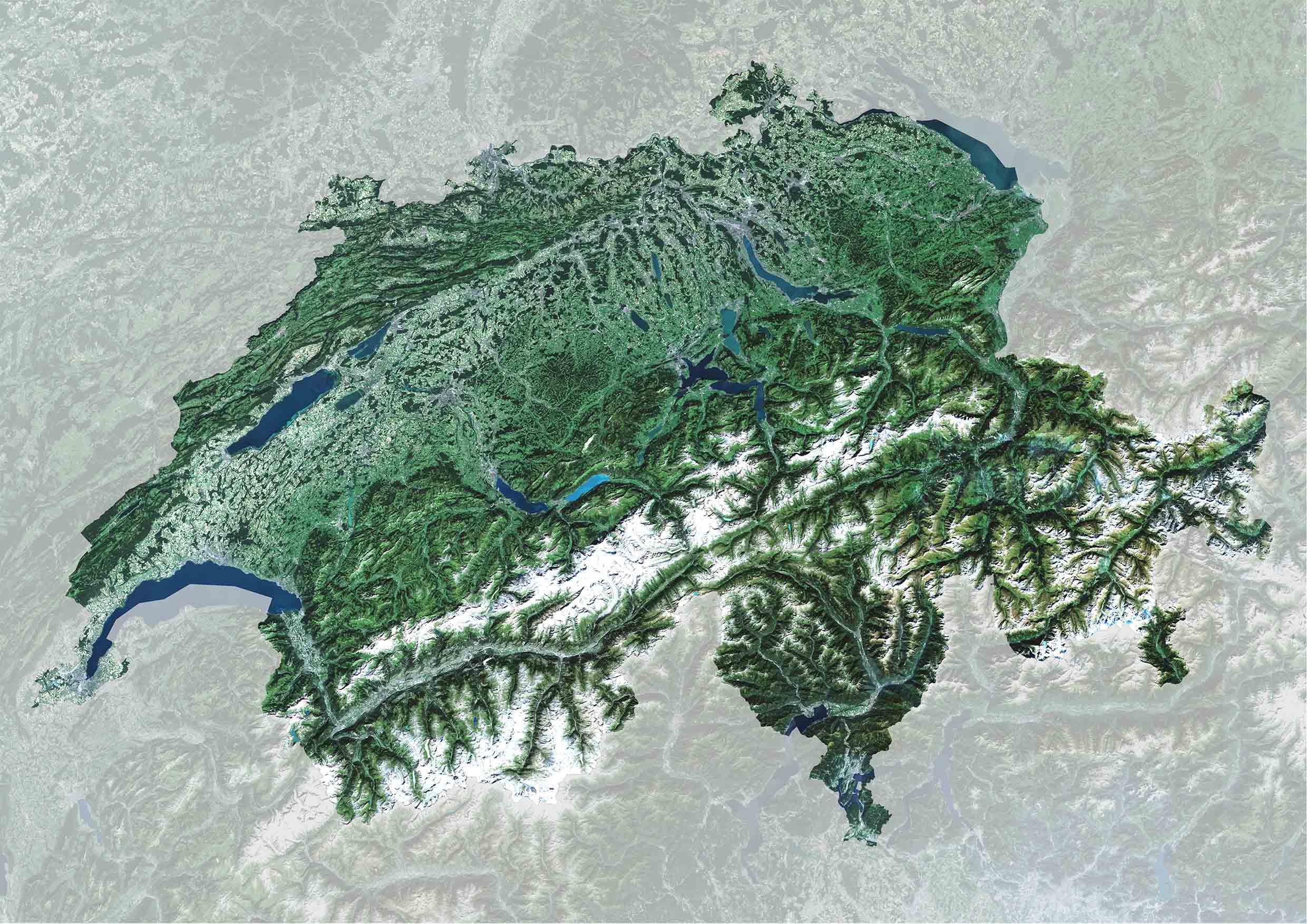
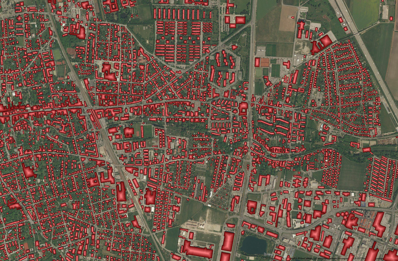
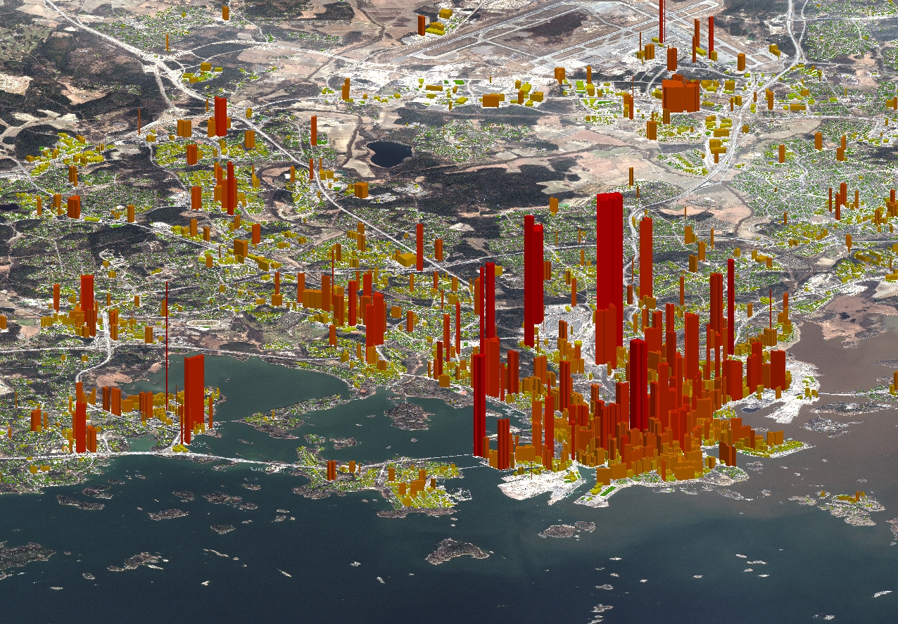
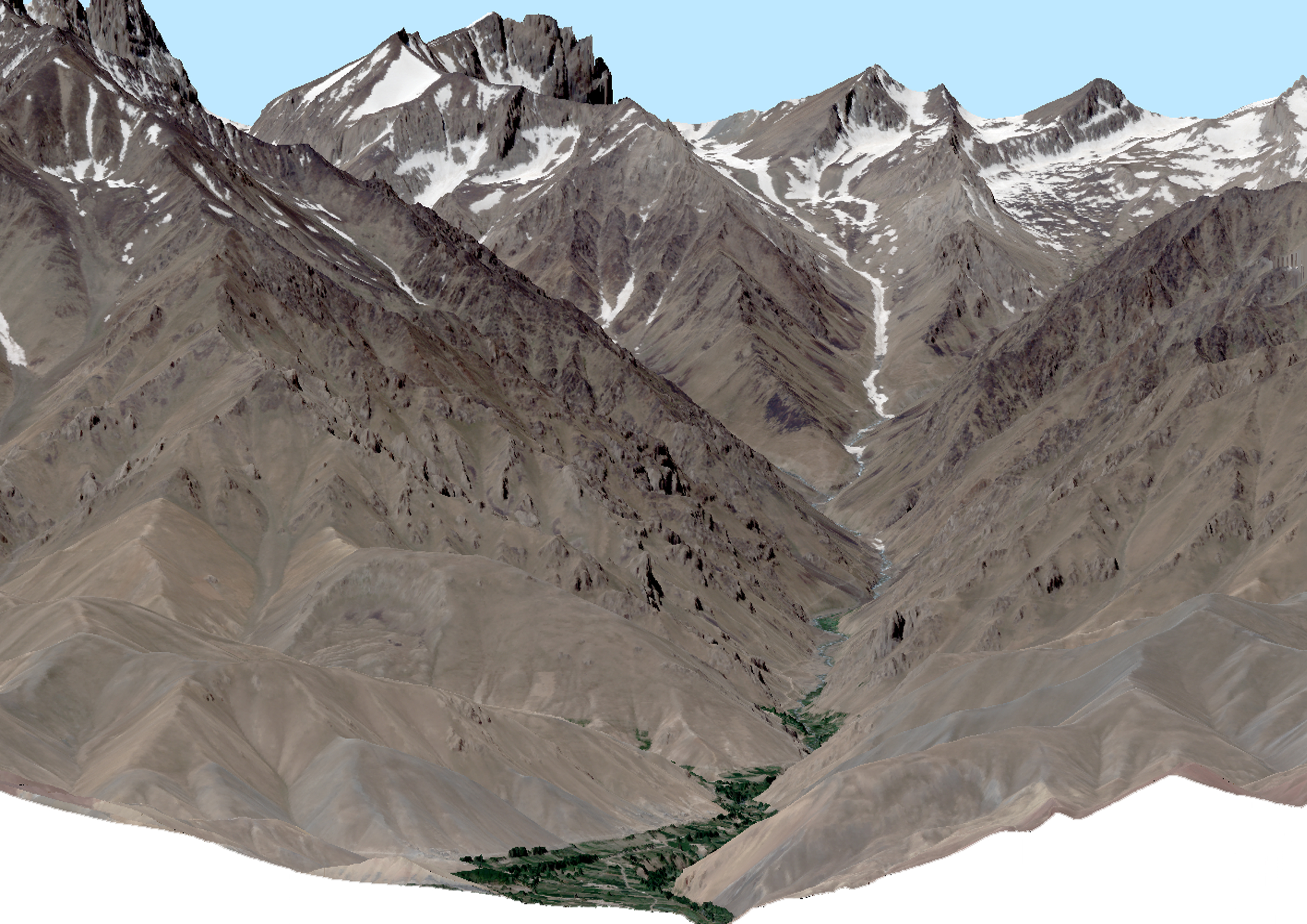
Your partner for
satellite imagery and
ready-to-use geodata

Geoproducts

GeoVille offers a broad portfolio of high quality agile geo-products for wide range of client applications, including satellite imagery, building footprints, population data, and elevation models.

Satellite Imagery

GeoVille is a global satellite image data provider, thanks to reseller agreements with all major mission operators: satellite image data from over 44 commercial satellites are in our data portfolio.

More information on GeoVille‘s satellite image portfolio: Geodata Portfolio

Satellite Image Mosaics

GeoVille has longstanding expertise in establishing visually appealing, analysis-ready cloud-free satellite mosaics. Geo-referenced image mosaics cover regions, countries and continents with homogeneous image data and are ready for integration into GIS as a rich information source for a wide range of applications.

Image mosaics are available off-the-shelf for many regions in the world and can be produced on demand for your area of interest in any target spatial and spectral resolution, for any given date.

Building Footprint Data

Building footprints depict the visible roof area and are extracted semi-automatically through very high-resolution satellite or aerial imagery and elevation data. Data are provided in generalised, cadastre-like vector format and optionally with additional attributes (e.g. building height, footprint area, stories, floor area).

For custom production, the costs are largely determined by the required image data, minimum building size and mapping accuracy.

Building footprints can be cartographically corrected to fit with existing geodata.

Population Raster Data

GeoVille provides high-resolution population distribution information via spatial disaggregation of census statistics with Earth observation land cover / land use data. Residential (night-time) population is spatially allocated to residential areas, while day-time population rasters are created through integration of data on commuters, employees, work places and points of interest. Population data are distributed on flexible reference units, such as grid cells or building blocks.

Elevation Data

Our selection on 3-dimensional data contains digital terrain models (DTM), surface models (DSM), normalised surface models (nDSM) and building models.

We can supply off-the-shelf and on demand 3D data:

Very High resolution (1-5m)

  • High precision with 1m vertical accuracy
  • Digital surface models of cities

High resolution (5-10m)

  • Off-the-shelf for Europe
  • On demand worldwide

Medium resolution (>10m)

  • Off-the-shelf worldwide

Digital Reference Data

GeoVille uses and provides ancillary digital geographic reference data sets from major producers. These include databases for:

  • topography
  • transport networks and traffic loads
  • points of interest
  • ground control points
  • geo-physical, meteorological and climatic parameters

Ask our Sales Representative to select the data truly fitting for your
purpose at the highest quality and cost-efficiency levels,
building upon GeoVille’s global multi-sensor application experience.

Get in touch

GeoVille Information Systems
and Data Processing GmbH

Sparkassenplatz 2
6020 Innsbruck
Austria

Tel: +43 512 562021-0
Fax: +43 512 562021-22
Email: info(at)geoville.com