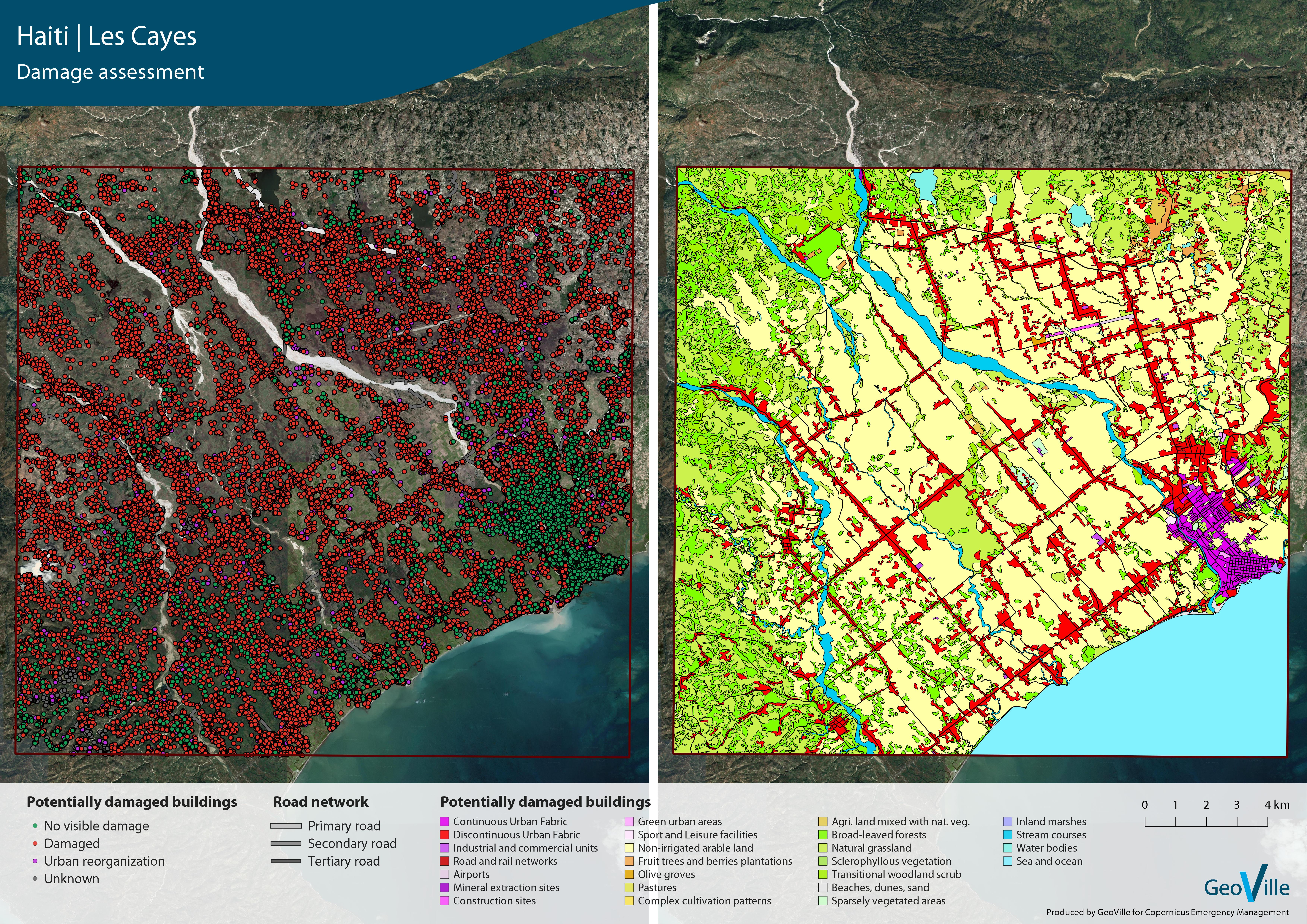
Assessing the impact of hurricane Matthew in Haiti
Hurricane Matthew struck Haiti on October 4, 2016, as a Category 4 hurricane. The combined effects of wind, coastal flooding and rain caused heavy flooding, landslides, and the destruction of a great deal of infrastructure, agricultural crops and natural ecosystems.
In the framework of the Copernicus Emergency Management Service (EMS), GeoVille generated maps and statistics related to damage assessment caused by Cyclone Matthew. The purpose of the activation was to provide a general reference content to support activities of administration in reconstruction work and to understand vulnerabilities during the recovery period.
The aggregated figures led to the following main conclusions:
- There was an important reconstruction effort in the first year after Matthew, with a total of 61% of buildings recovered up to the beginning of 2018.
- However, there is still about 8% of recovery activities pending.
- Today, there is a remarkable number of additional buildings with respect to pre-event conditions, representing an additional 10% of the total buildings.
Interested? Further information can be accessed under:
Copernicus Emergency Management Service
