At GeoVille, we have a profound understanding of the relationship between client demands and available geo-information technologies; that is exactly what we have to offer. Client satisfaction and “excellent value for money” geo-information solutions are always put at the centre of attention.
GeoVille is internationally renowned for its leading role in innovative Earth observation services and offers a one-stop-shop for targeted value-added geo-information products and related solutions.
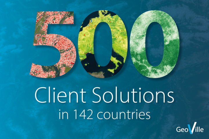
We have attained innovation leadership in “end-to-end” geo-spatial land monitoring applications through 25+ years of business.
Our team is on the forefront of research and innovation, striving to find the best technological solution for matching evolving clients needs.
GeoVille employs highly qualified experts and powerful information technologies driven by high-performance computer centres.
We are focused on affordable and quality controlled geo-information with the highest accuracies and known levels of precision.
We are always looking for enthusiastic and talented people to join our expanding team.
Sparkassenplatz 2
6020 Innsbruck
Austria
Tel: +43 512 562021-0
Fax: +43 512 562021-22
Email: info(at)geoville.com


 Geoproducts
 Dynamic Geo-Products
 landmonitoring.earth portal