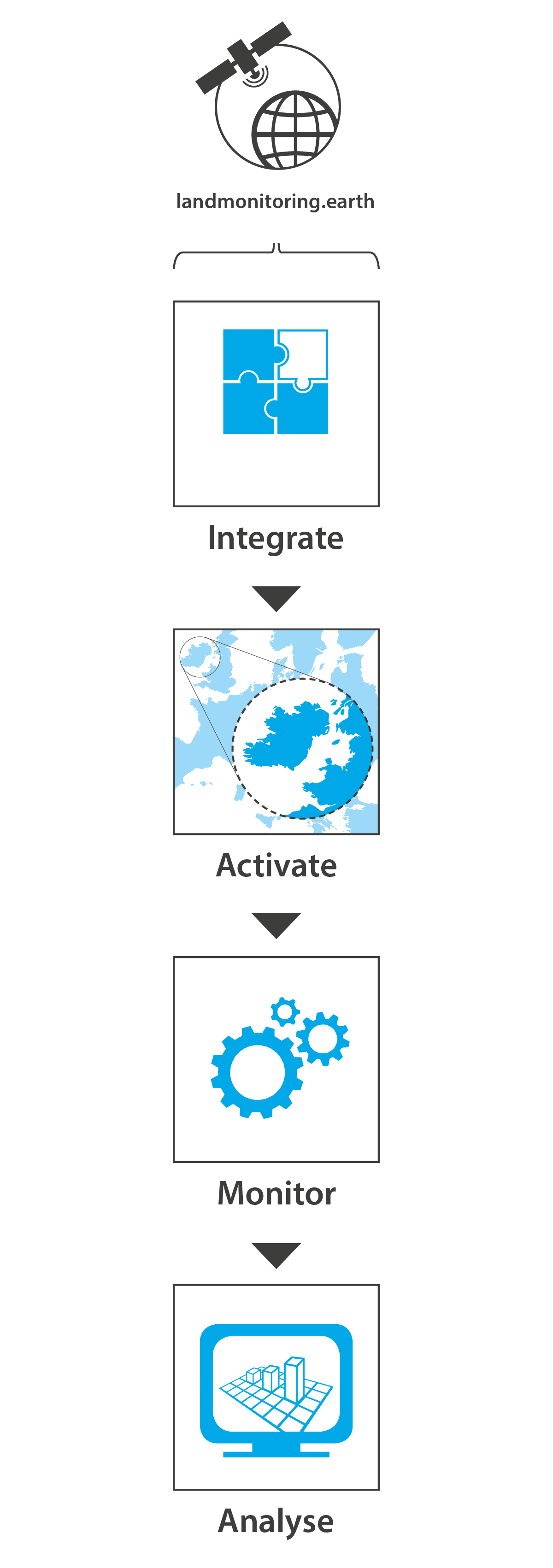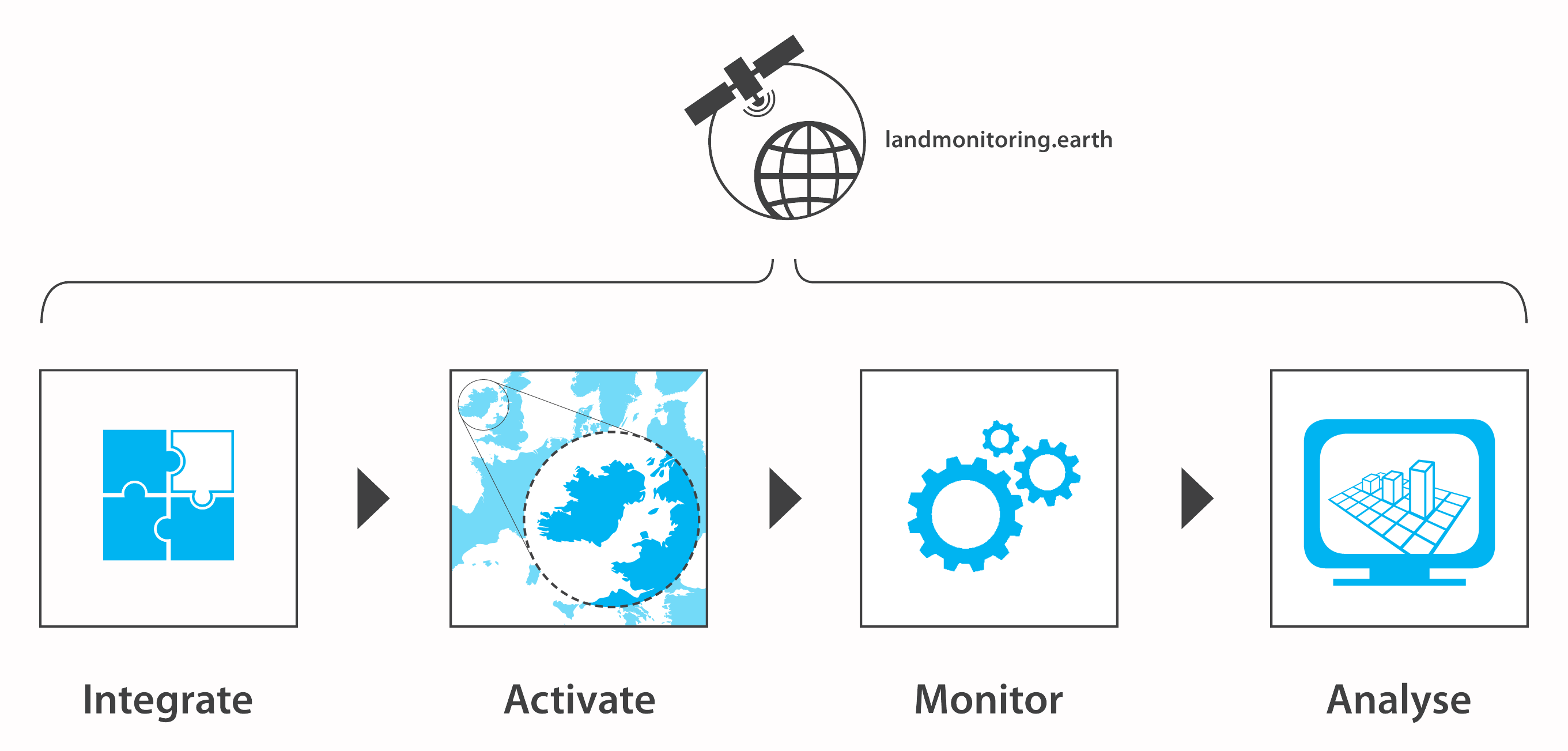
GeoVille offers a specialised set of high-quality dynamic geo-products for user-driven monitoring applications. Through the landmonitoring.earth portal, GeoVille provides a unique solution for monitoring your area of interest in high spatial resolution and dense time intervals.
The landmonitoring.earth portal addresses all observable habitats, ecosystems and related change processes on the Earth’s land and coastal areas, such as urbanisation, infrastructure development, deforestation, agricultural intensification, land abandonment, water resource use, natural hazards and climate change impacts.
Rapidly increasing satellite observation capacities create new opportunities for affordable, user-driven monitoring applications. Continuous monitoring provides detailed insights into historic developments and ongoing processes, situational awareness and robust baselines for decision-making and forecasting.
GeoVille’s fully-automatic, dynamic, land-monitoring services are based on highly-advanced processing technologies and are available as a direct service on landmonitoring.earth or as B2B API services, possible to integrate into client workflows or business solutions. We enable continuous information feeds to web-based Land Information Systems (LIS), geoportals, platforms or any analytical IT systems.
Sparkassenplatz 2
6020 Innsbruck
Austria
Tel: +43 512 562021-0
Fax: +43 512 562021-22
Email: info(at)geoville.com