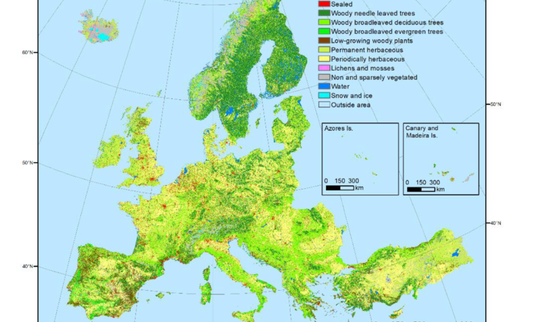
CLC+ Backbone Raster Data for 2018 published by EEA
We are happy to announce that the CLC+Backbone raster product for 2018 was published by the EEA and is available for download via the Copernicus Land Portal
The CLC+ Backbone raster product covers 11 LC classes and is synergistically complementing the current HR Layers particularly in terms of providing an excellent delineation and characterization of cropland areas, via the class 'periodically herbaceous land', 'low-growing woody plants', 'lichens and mosses land', 'partly vegetated' and 'non-vegetated land' as well as 'snow and ice'.
The CLC+ BB Raster Product is a key asset of the system with unique features for the European area. Its high resolution 10m coverage provides detailed wall to wall geospatial data, and it is fully compliant with the EAGLE data model and nomenclature. The product can be used as input data for the CLC+ Core database, complementing current CLMS products. A summary of the assets of the product can be found on the Copernicus Land Monitoring Service website.

