Amazonas wildfires spotted by Sentinel satellites
Often called ‘the lungs of the world’ because it provides 20% of the world's oxygen, the Amazon rainforest has been ablaze for weeks. Copernicus Sentinel satellites have captured images of the billowing smoke from the catastrophic fires, which continue to spread.
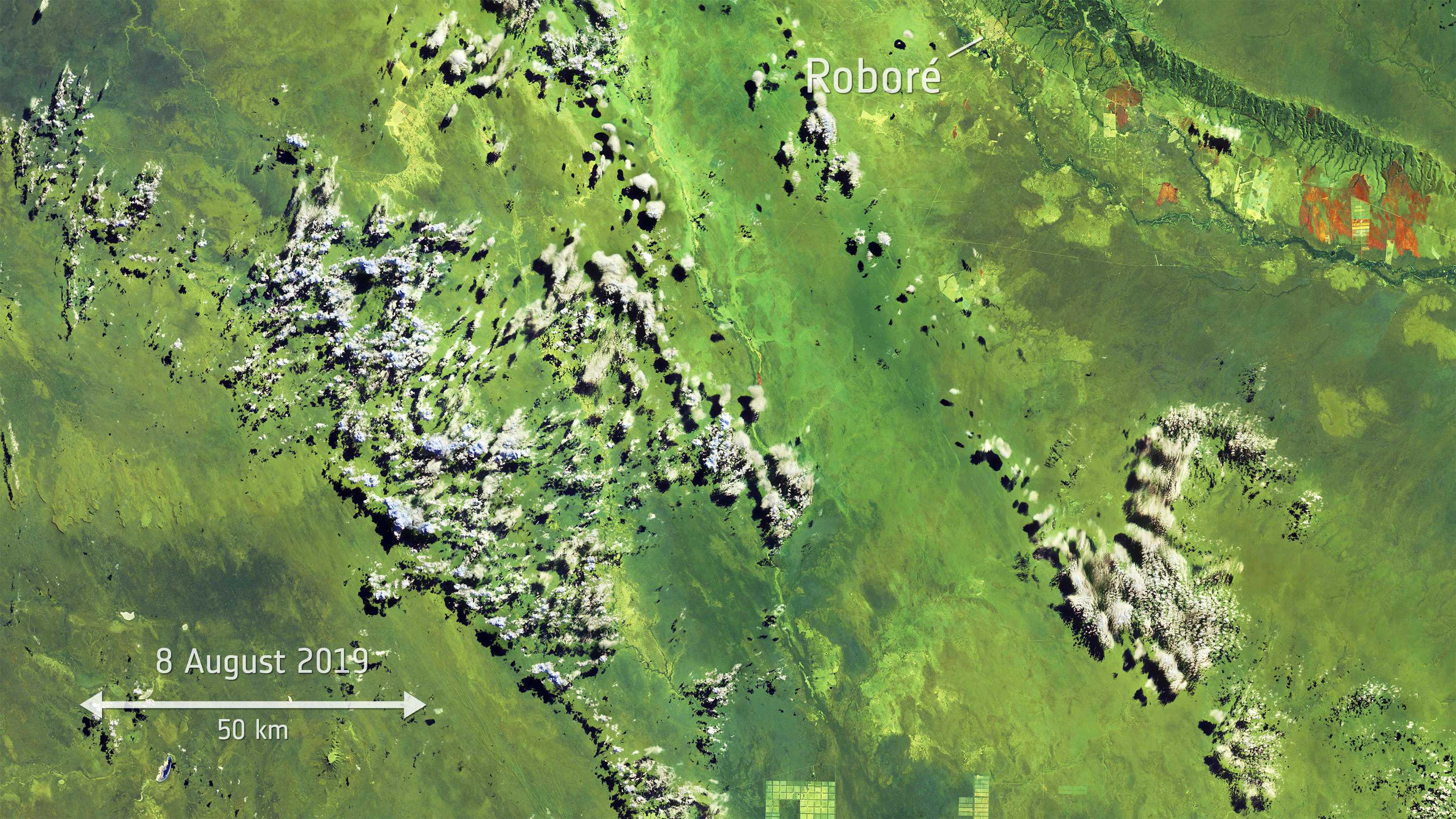
Using Copernicus Sentinel-3 data, as part of the Sentinel-3 World Fires Atlas, almost 4000 fires were detected from 1 August to 24 August 2019. Apart from Brazil, parts of Peru, Bolivia, Paraguay and Argentina have also been affected. While forest fires normally occur in Brazil’s dry season, which runs from July to October, the unprecedented increase is reported to come from both legal and illegal deforestation which allows land to be used for agricultural purposes, rising global temperatures are also thought to be making the region more susceptible to fire.
The Amazon basin is the world’s largest tropical rainforest, spanning four countries and is home to millions of plants and animals. It produces around 20% of the world’s oxygen – hence the region being called ‘the lungs of the world’ – and is crucial for helping to regulate global warming as the forests absorb millions of tonnes of carbon emissions every year.